- Close to here
- Save
- Indications
- Share
- prev
- Next
What to expect
Mount Bisbino
Mount Bisbino , in the Cernobbio area, reaches an altitude of 1.325 meters and is the southernmost peak of the long ridge of the Lariani Mountains. Its location, between the first basin of Lake Como and the Swiss border, makes it a recognizable observation point in the pre-Alpine landscape.
Mount Bisbino is more than just a scenic destination. At the summit, you'll find the Sanctuary of the Blessed Virgin, remnants of the Northern Frontier, and a mountain setting that connects local history, pilgrimage, and landscape.
The editorial proposal brings together these environmental and historical elements. It helps us understand the summit as a place of territorial memory, as well as an observation point.
A viewpoint above Cernobbio
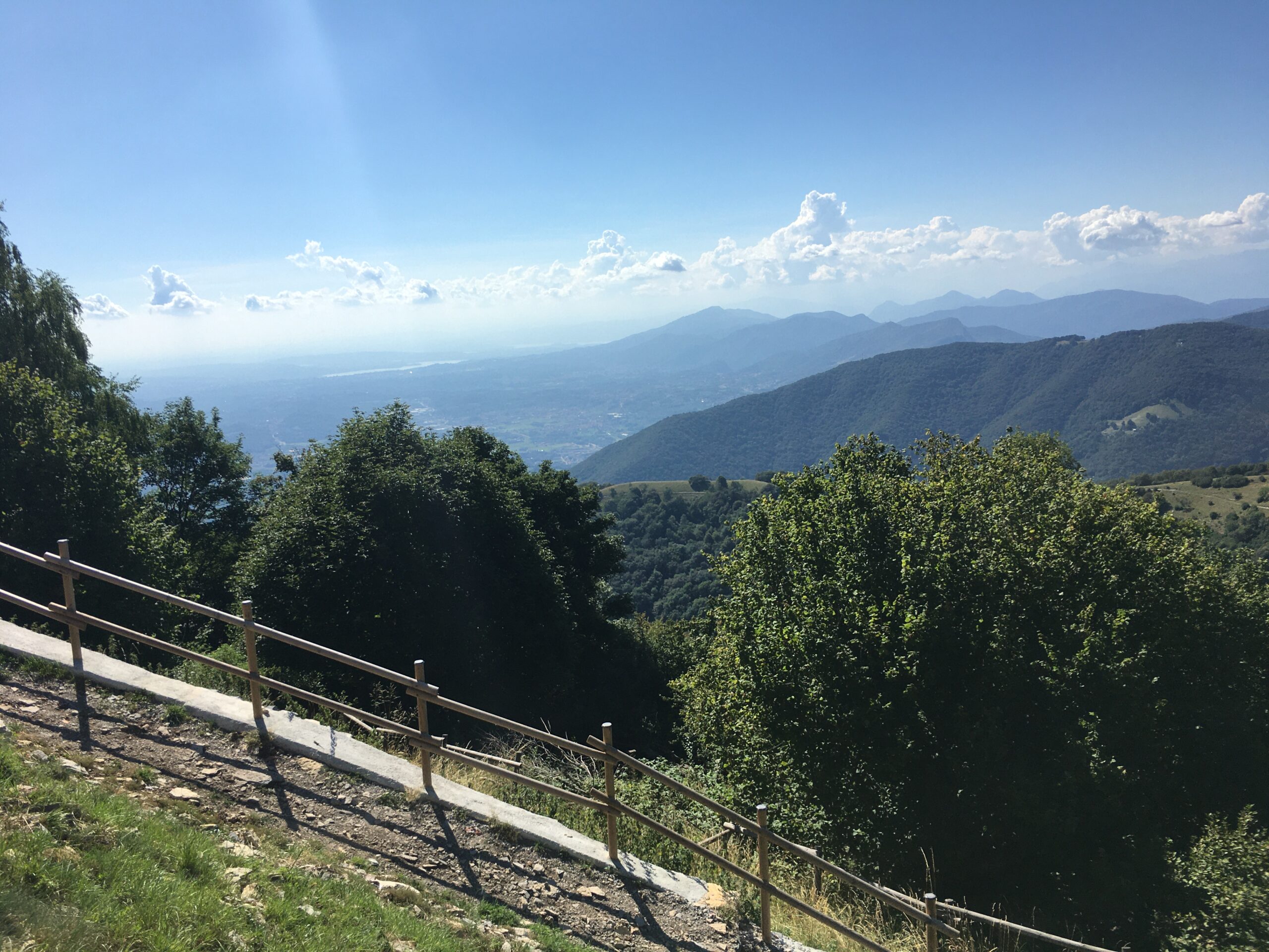
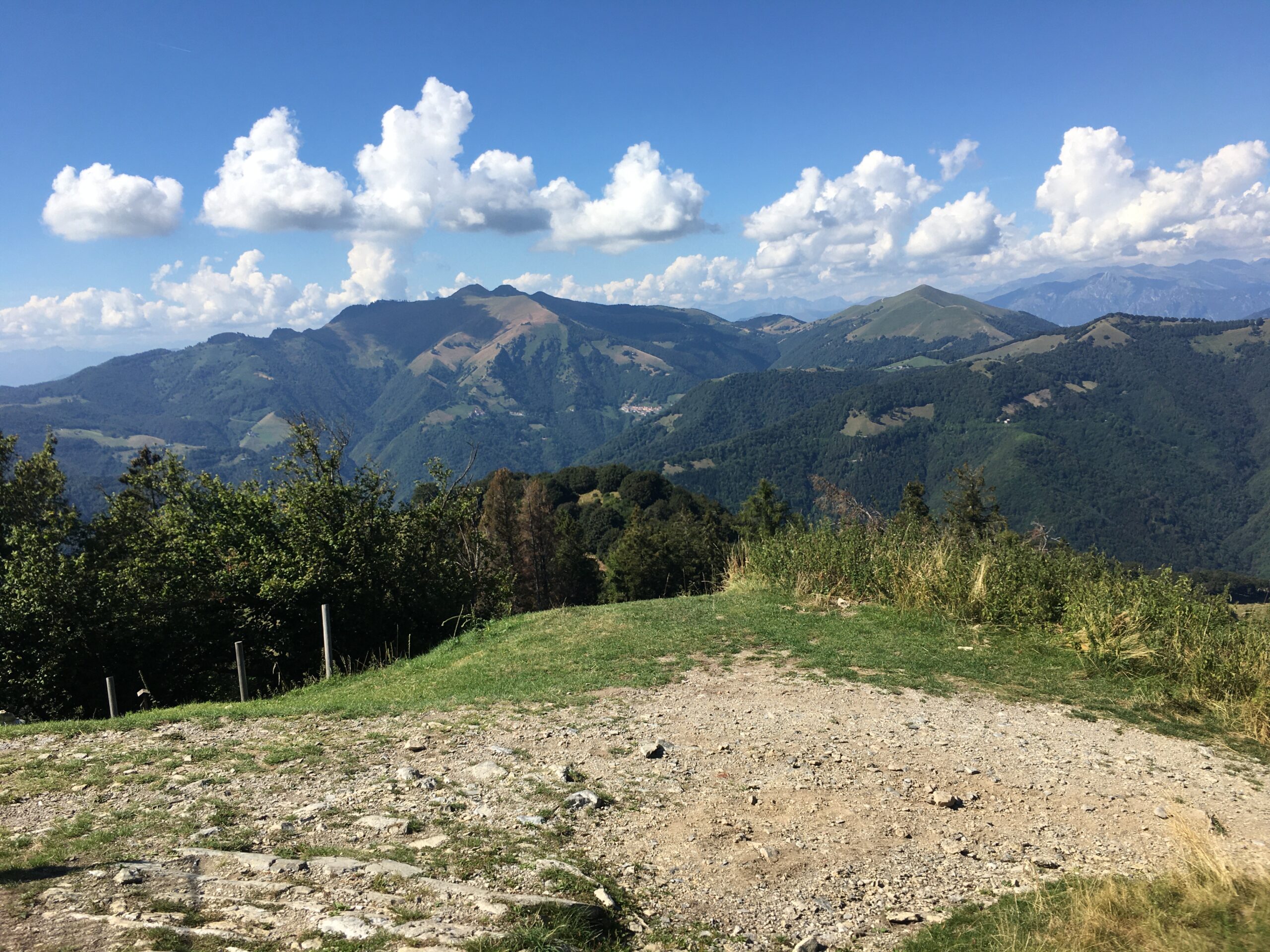
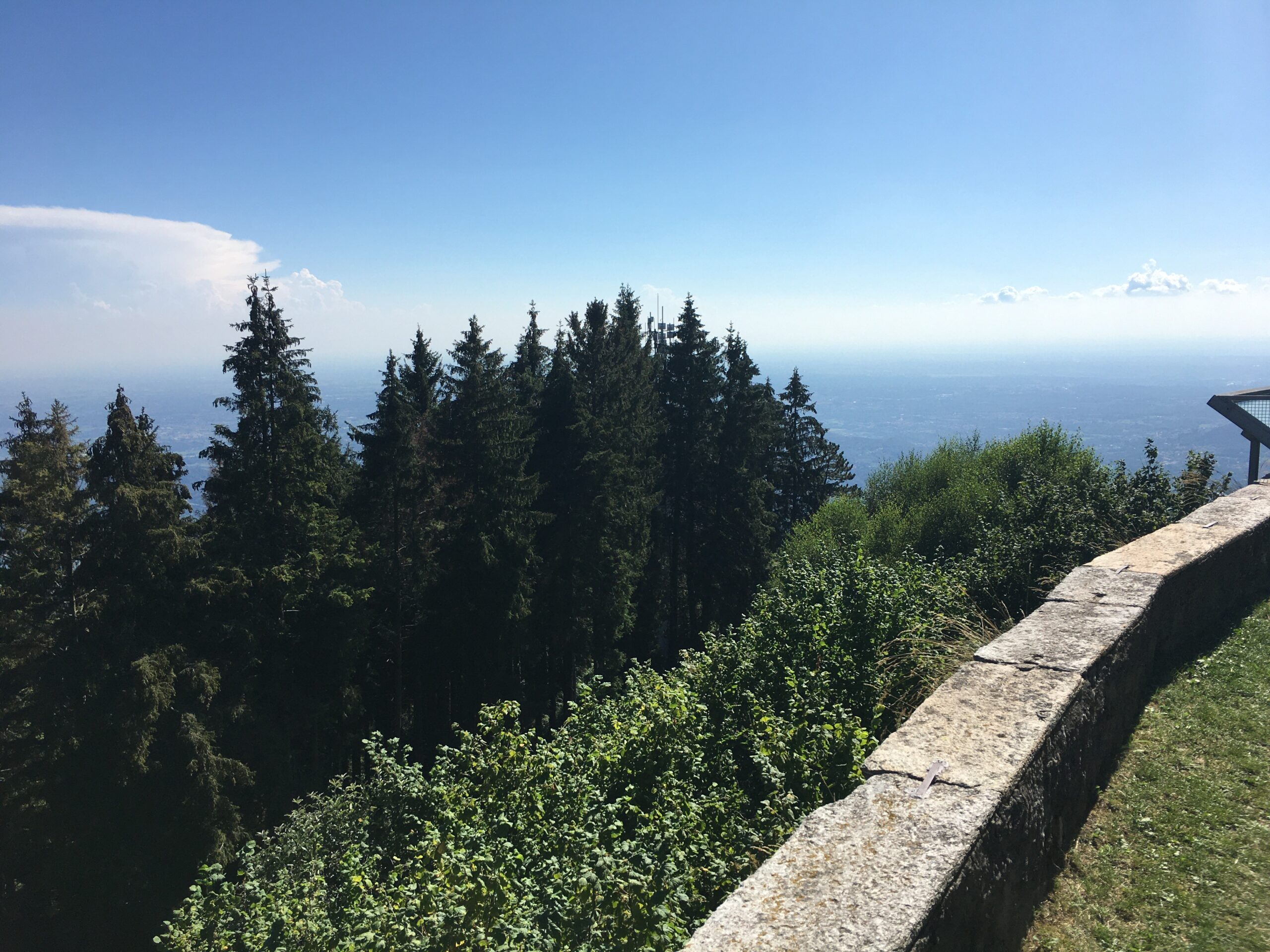
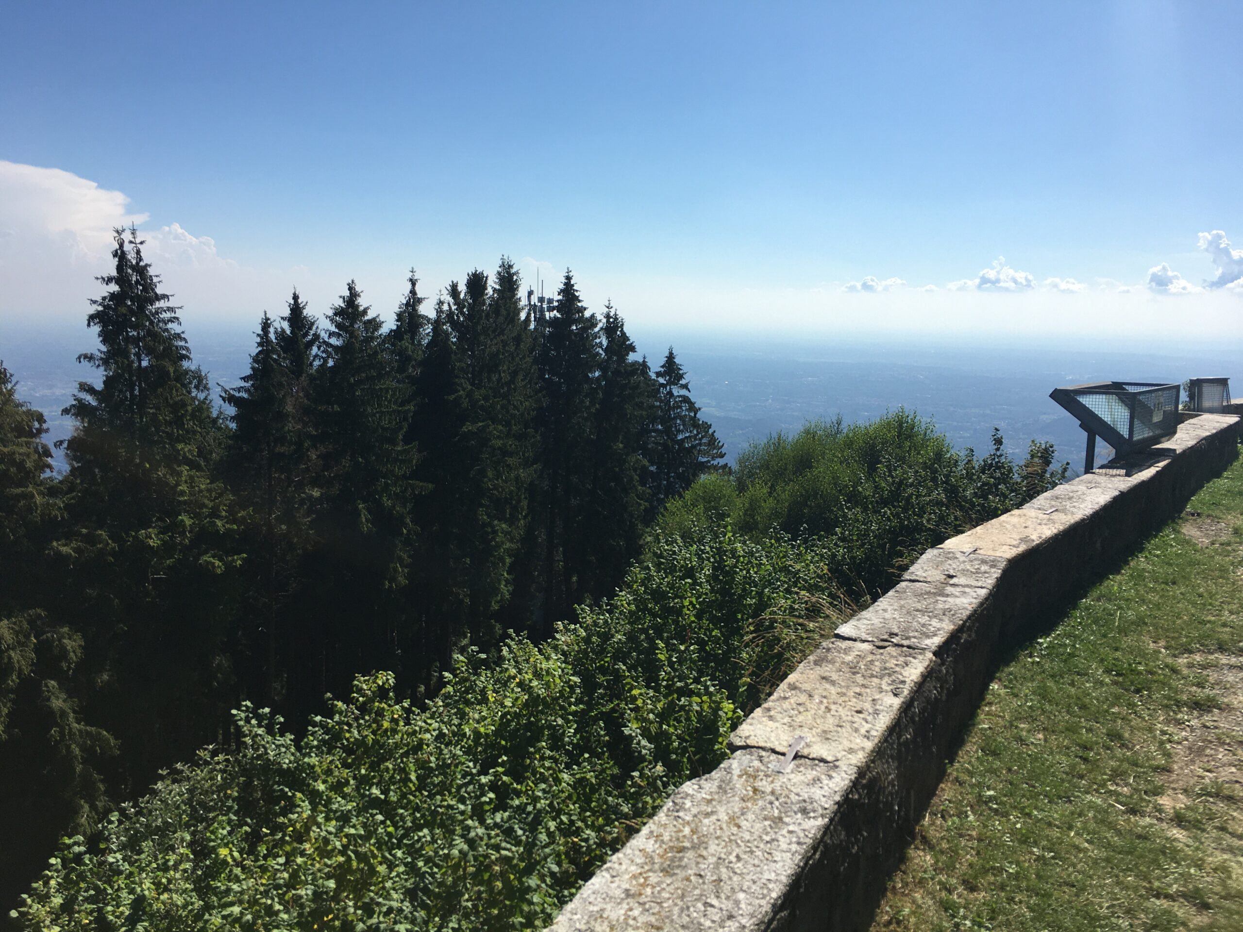
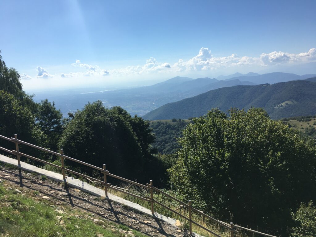
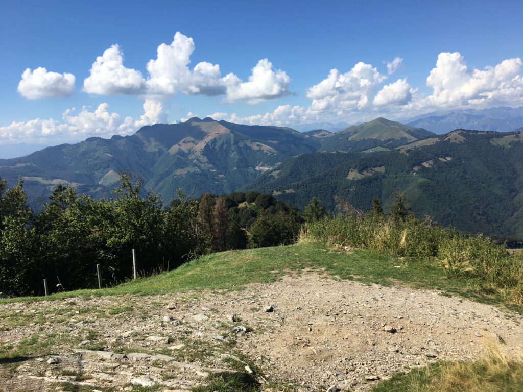
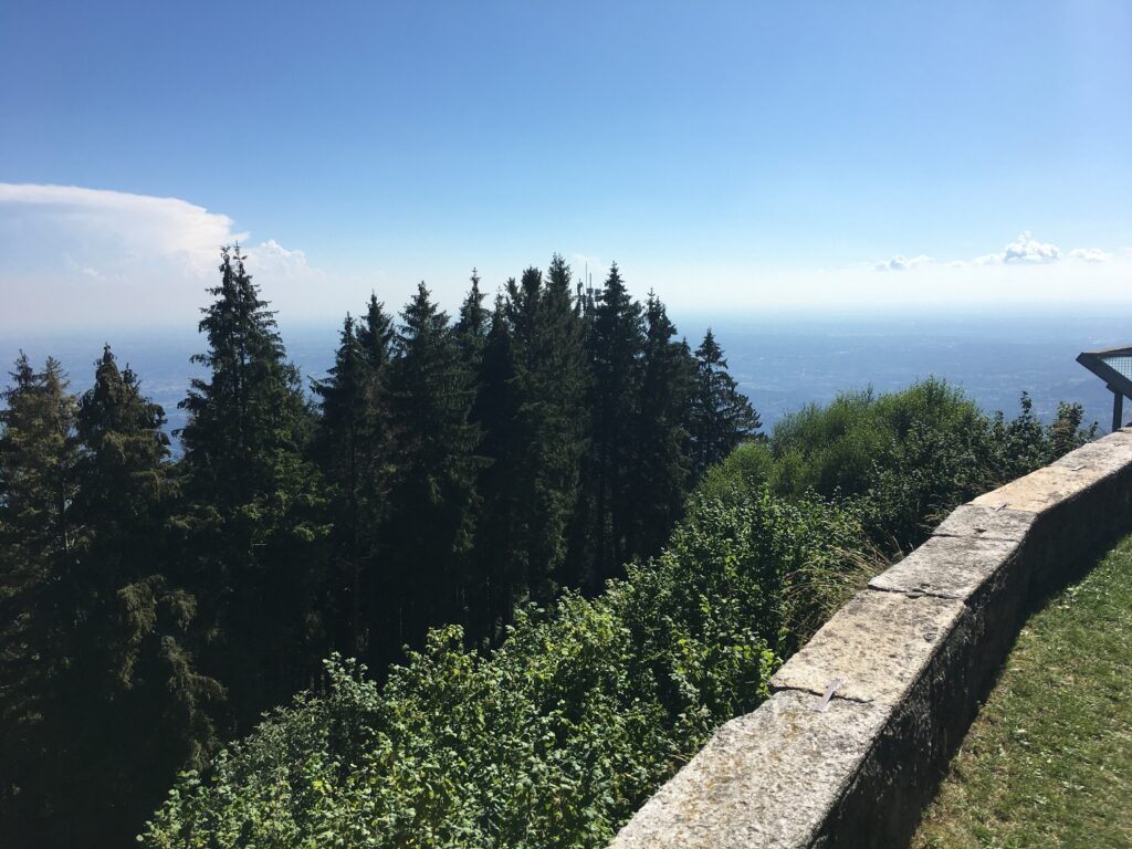
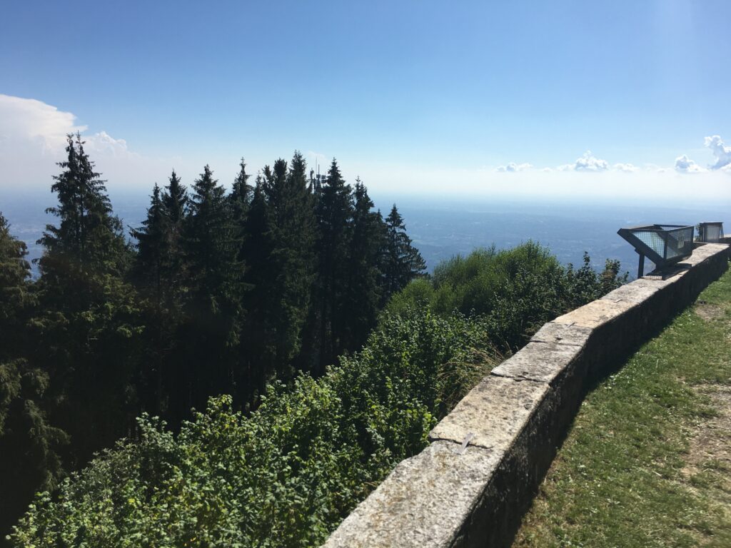
The Lombardy Region recognizes the Monte Bisbino lookout point as a panoramic point in the Cernobbio area. From the summit plaza, behind the sanctuary, the view opens in multiple directions, encompassing the plain and the mountains.
The view is one of the summit's most distinctive features, but visibility depends on the weather. Therefore, it's useful to think of it as a place to observe the landscape, without taking for granted specific views or conditions on any given day.
Sanctuary and memory of the mountain
In the Monte Bisbino area, you'll find the Sanctuary of the Blessed Virgin, designated by the Diocese of Como at an altitude of 1.314 meters. The complex is linked to the tradition of pilgrimages and houses the Small Museum of Monte Bisbino, dedicated to the natural history and events of the mountain and its inhabitants.
This element adds a cultural dimension to the visit. The summit can be described as a point where landscape, devotion, and local memory meet, avoiding presenting services or openings as permanent and subject to change.
The traces of the Northern Frontier
Bisbino preserves structures from the Northern Frontier, the historic defensive system also known as the Cadorna Line. The ERSAF guide describes artillery emplacements and a cave observation post connected to the now paved military road.
The cave observatory is closed to the public and can only be visited by contacting the Alpine troops of the Como branch of the ANA. It is therefore correct to mention it as a historical feature of the site, not as a freely accessible attraction.
A visit to be approached with caution
Regional sources describe routes that reach the summit from Cernobbio and Rovenna. Even for the short route, sturdy shoes and clothing appropriate for the season are recommended.
Before setting out, it's a good idea to check weather conditions, signage, and updated traffic information. This will allow you to plan your visit wisely, respecting the mountain environment and any local restrictions.
Photo: Jo-Jo Eumerus CC BY-SA 4.0.
Photo: Jo-Jo Eumerus CC BY-SA 4.0.
Photo: Jo-Jo Eumerus CC BY-SA 4.0.
Photo: Jo-Jo Eumerus CC BY-SA 4.0.
Type of place
Location
-
Monte Bisbino, 22012 Cernobbio, Como
How to get there
The reference point is Cernobbio , in the province of Como. The ERSAF guide indicates that Cernobbio can be reached by car and by public transport from Como, including buses and boats.
By car , from Cernobbio you can follow the road to Monte Bisbino. ERSAF reports that the military road, now paved, reaches the summit; the peak is accessible only by private vehicle. Before setting off, it's a good idea to check local road conditions and signage, as temporary restrictions may apply.
By public transport , you can reach Cernobbio from Como. The guide does not indicate a direct public connection to the summit: for this reason, the information does not include any unverified lines, stops, or connections.
Parking : No updated institutional sources have been identified that confirm specific parking areas on the summit; therefore, a parking lot is not indicated.
Accessibility : There are no official sources describing an accessible route to the summit. For hiking itineraries, ERSAF recommends sturdy shoes and clothing appropriate for the season.